A stylized New York built from thousands of meshes
· 1 min read · three.js, webgl, maps, performance, launch
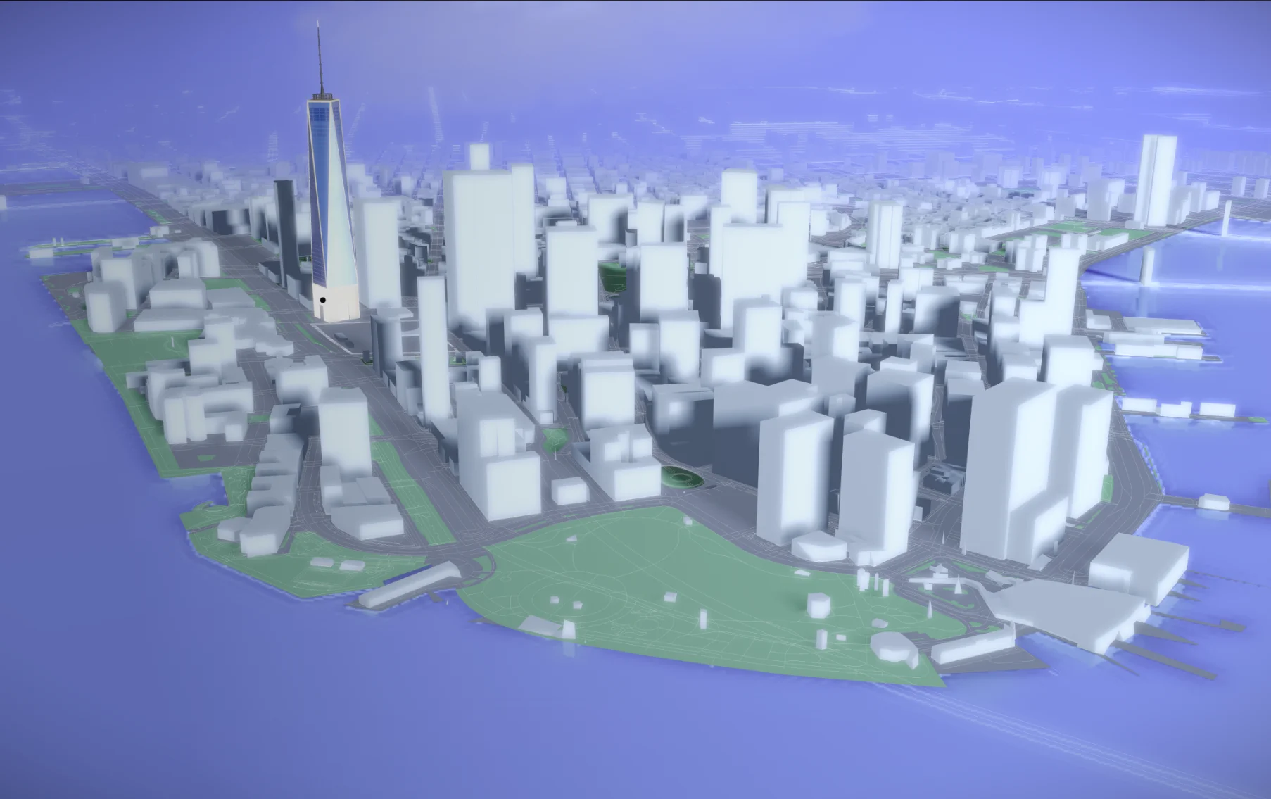
How much of a city can a browser carry? This was a study to push that limit with dense, complex geometry: thousands of meshes arranged into a stylized New York skyline.
A graphic city, not a satellite clone #
The city is intentionally non-photorealistic: clean blocks, soft shadows and a graphic read of the streets. That is a technical choice and an artistic one. A stylized city is cheaper to draw, and it is clearer to read.
What you can do #
- navigate the map,
- click selected buildings,
- and keep it all clear, clickable and readable in real time.
It is a focused demo of scale and interaction, proving that WebGL can carry a full urban layout.
Try it #
The map is live at interactive-map-nyc-neotix.vercel.app, and the details are on the project page.
Related projects
- New York City Map — Complex interactive city map study